Manali to Leh Road Trip: Route, High Passes, Stops and Food Guide
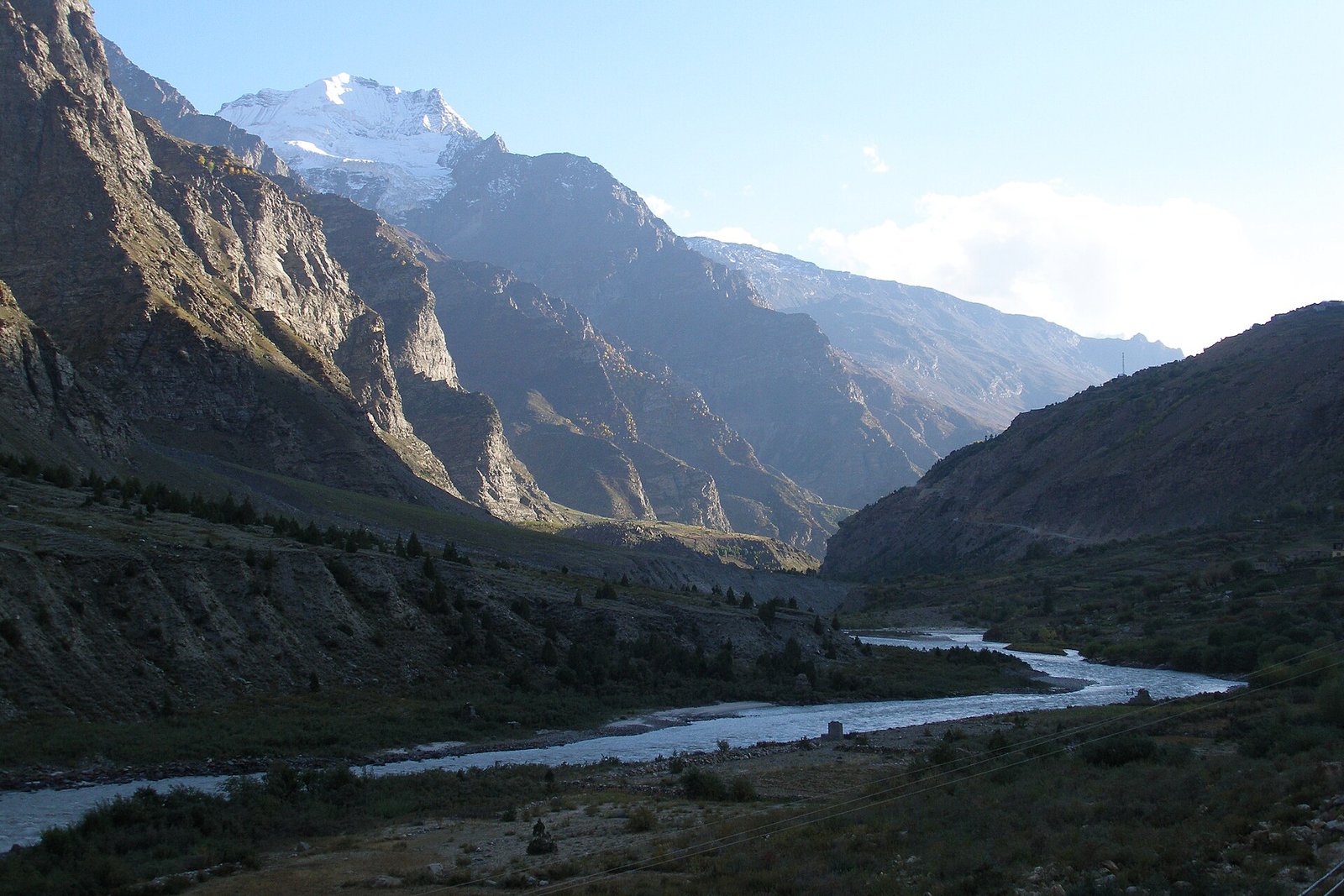
The Manali–Leh Highway is one of the most famous drives in India. It climbs from the green valleys of Himachal Pradesh to the dry, high desert of Ladakh. On the way, you cross some of the highest roads in the country, past glacier lakes, prayer flags and long, empty plains.
It is a tough drive, and the altitude matters more than the distance. With good planning, it is also one of the best road trips you can do in India.
| Start | Manali, Himachal Pradesh |
|---|---|
| End | Leh, Ladakh |
| Distance | About 430 km via the Atal Tunnel |
| Time needed | 2 days of driving; 3 days is more comfortable |
| Best months | Roughly mid-June to early October, when the passes are open |
| Highest point | Tanglang La, about 5,330 m (17,480 ft) |
The route in short
Most travellers now drive from Manali through the Atal Tunnel into the Lahaul Valley, instead of going over Rohtang Pass. From there, the road follows the Bhaga River past Keylong and Jispa, then climbs over a series of high passes before dropping into the Indus Valley near Leh.
- Baralacha La – about 4,890 m (16,040 ft)
- Nakee La – about 4,740 m (15,550 ft)
- Lachulung La – about 5,060 m (16,600 ft)
- Tanglang La – about 5,330 m (17,480 ft)
Between Nakee La and Lachulung La, the road climbs the famous Gata Loops, a set of 21 hairpin bends. After Pang, it crosses the More Plains, a long, flat plateau high in the mountains.
Where to stop
1. Manali to Jispa
Leave Manali early and cross the Atal Tunnel into Lahaul. The landscape quickly turns drier and browner. Stop for the night at Jispa (about 3,200 m). Sleeping here helps your body get used to the height before the big passes.
Food stop: hot momos, thukpa and ginger-lemon tea at the cafés and guesthouses by the Bhaga River.
Fuel tip: fill up at Tandi, near Keylong. It is usually described as the last fuel pump for roughly 365 km until you reach the Leh area.
2. Baralacha La and Sarchu
Climb to Baralacha La, where you can see snow walls early in the season. Just off the road is Suraj Tal, a small glacier lake. The road then drops to Sarchu, near the border of Himachal and Ladakh. Sarchu has tent camps and is another option for a night halt, though it is high and cold.
Food stop: tent dhabas at Zingzingbar and Sarchu serve Maggi, rajma-chawal, dal-rice and sweet tea.
3. Gata Loops, Pang and the More Plains
Drive up the Gata Loops, over Nakee La and Lachulung La, and down to Pang, a stop with parachute-tent dhabas. Then cross the wide More Plains. Look out for kiang (wild asses) and the tents of Changpa herders.
4. Tanglang La to Leh
The last big climb is Tanglang La. After the pass, the road drops past Rumtse and Upshi into the Indus Valley. You will start to see white stupas, monasteries and finally the town of Leh.
Food stop: in Leh, try skyu (a Ladakhi pasta and vegetable stew), thukpa and butter tea.
Altitude and safety tips
- Go slowly. Spend a night at Jispa, and rest for at least a day after you reach Leh. Altitude sickness is real, even for fit people.
- Know the signs. Headache, nausea, dizziness and breathlessness are warning signs. If they get worse, go down to a lower height and get medical help.
- Talk to a doctor before the trip about altitude sickness and whether medicine is right for you.
- Drink plenty of water and avoid alcohol on the way up.
- Start early. Stream crossings fed by melting snow are usually lower in the morning and higher in the afternoon.
- Carry cash, warm clothes and basic spares. Mobile signal and ATMs are rare between Keylong and Upshi.
- Check before you go. Road status, weather and permit rules change. Check with local authorities or your hotel before setting off.
Good to know
The road is usually open from around June to October, but the exact dates depend on snow. Early in the season there may be snow walls and slushy patches; later there may be dust and broken sections. Drive carefully, keep your headlights on, and give way to army convoys and trucks.
Want more drives? See our road trip guides.
Cover photo: Vyacheslav Argenberg / Wikimedia Commons, CC BY 4.0 (source).